Agriculture & viticulture
Automated vineyard missions, precision spraying, AI-assisted crop monitoring and disease detection with RTK-grade repeatability.
Vineyards · orchards · row crops
KEA Drones · Luxembourg
KEA develops autonomous drone systems that combine flight autonomy, computer vision and real-time analytics – for vineyards and fields, for critical infrastructure, and for the people who respond when something goes wrong.
Autonomous flight
RTK positioning ≈ 2 cm
On-board AI inference
LiDAR · 3D vision · thermal
Fleet & mission management
KEA Drones designs the complete stack – airframe integration, autonomy, perception, on-board AI and the fleet software that turns flights into decisions. We build in Luxembourg, for European conditions, regulations and customers.
Three sectors where repeatable, precise and safe aerial work makes a measurable difference – and where a human in the loop stays in control.
Automated vineyard missions, precision spraying, AI-assisted crop monitoring and disease detection with RTK-grade repeatability.
Vineyards · orchards · row crops
Automated perimeter patrols, alarm-triggered missions and thermal situational awareness for industrial sites and infrastructure.
Perimeters · plants · utilities
Rapid aerial reconnaissance, thermal mapping and payload delivery to support firefighters, rescue teams and disaster assessment.
Firefighting · search & rescue · assessment
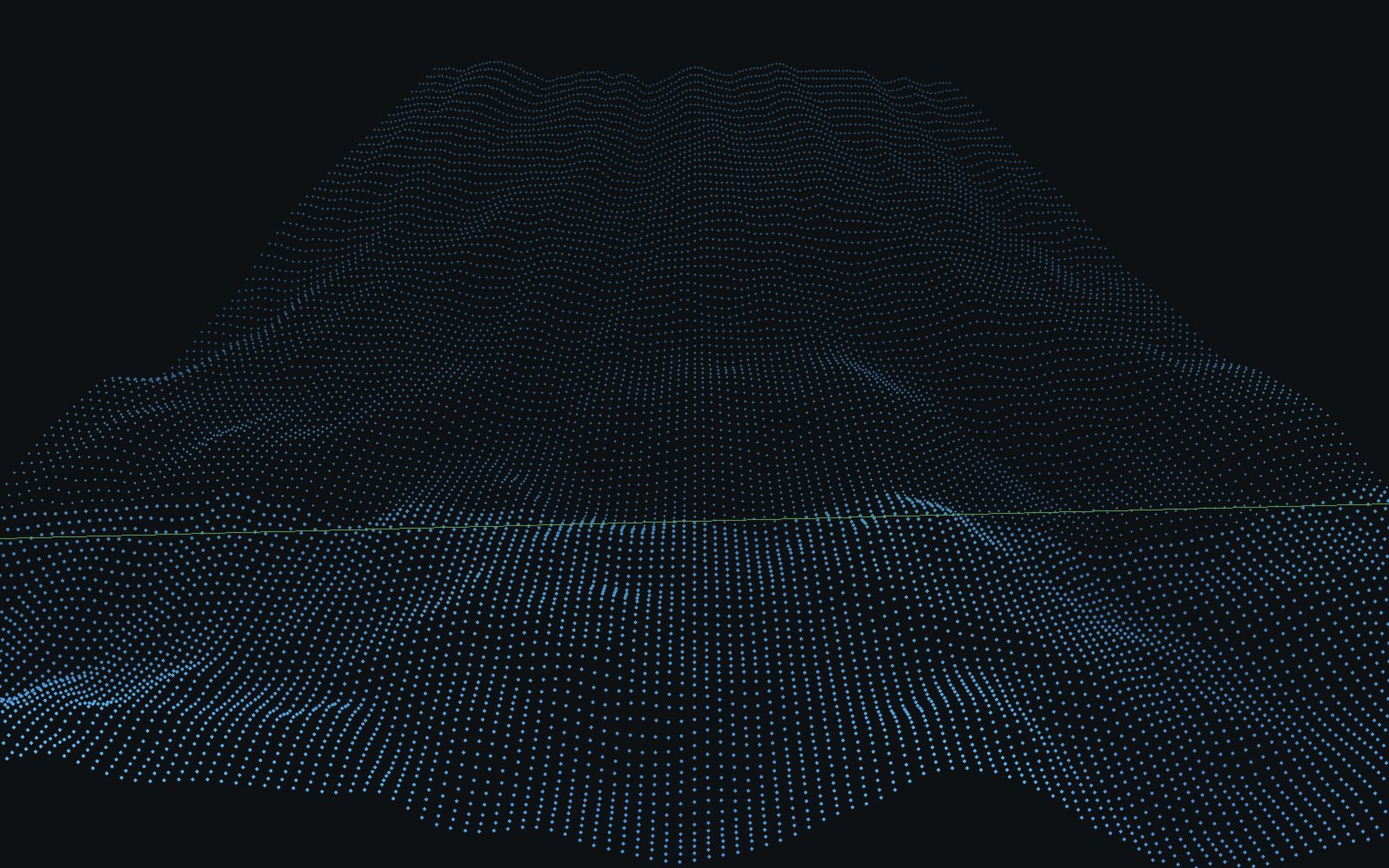
LiDAR terrain scan · illustration
Autonomous flight
Our autonomy stack fuses RTK GNSS, LiDAR, 3D cameras and inertial data into a live model of the environment. Missions are planned on the ground, executed autonomously and supervised in real time – with clear, documented limits for what the system does on its own.
Steep slopes, narrow rows and a short treatment window make viticulture the hardest test for aerial automation – and the place where it pays off first.

Row-following mission · vineyard · illustration
Row-accurate flight plans generated from field geometry, flown repeatably with RTK positioning.
Targeted application with per-row logging, weather integration and treatment planning.
Multispectral and RGB imagery analysed by AI models to flag stress, disease and vigour differences early.
Yield estimation, environmental monitoring and complete mission documentation in one record.
Perception models run on NVIDIA Jetson compute in flight. Results are streamed as telemetry, aggregated in the fleet platform and turned into treatment plans, alerts or reports.
RGB, multispectral, thermal and LiDAR data, geo-referenced with RTK precision.
Computer-vision models detect rows, obstacles, disease patterns and thermal anomalies on the edge.
The fleet platform fuses missions, weather and history into crop-health maps and situational overviews.
Treatment plans, patrol alerts and documented reports – reviewed and released by people.
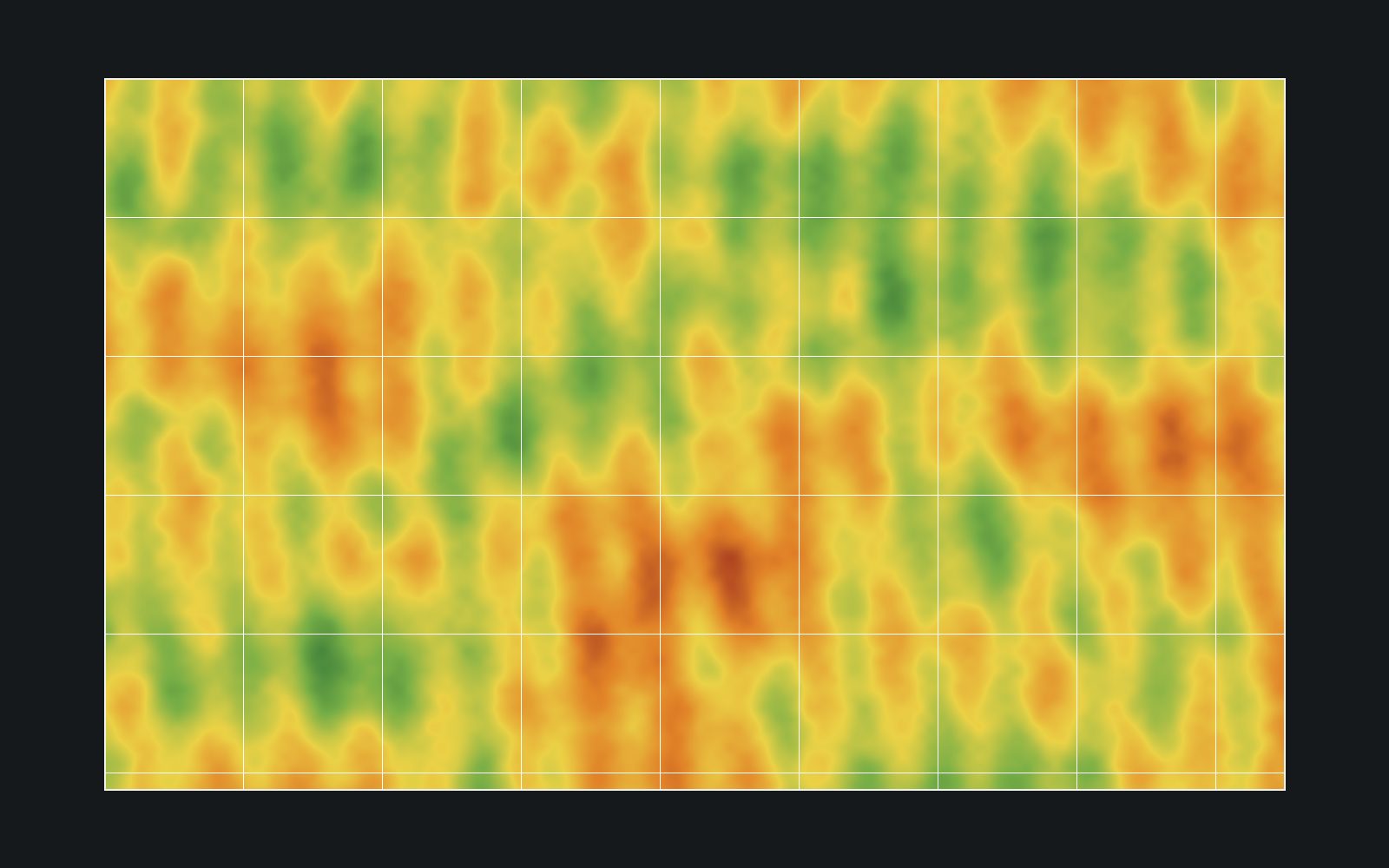
Vegetation index map · illustration
Every capability on this site is labelled as available, in development or research. Detection models are validated per crop and region before they are released to customers, and every automated recommendation remains a recommendation until an agronomist or operator confirms it.
Security & critical infrastructure
Scheduled perimeter patrols, alarm-triggered inspection flights and thermal imaging give security teams live situational awareness over large sites – without sending a person into the dark first.
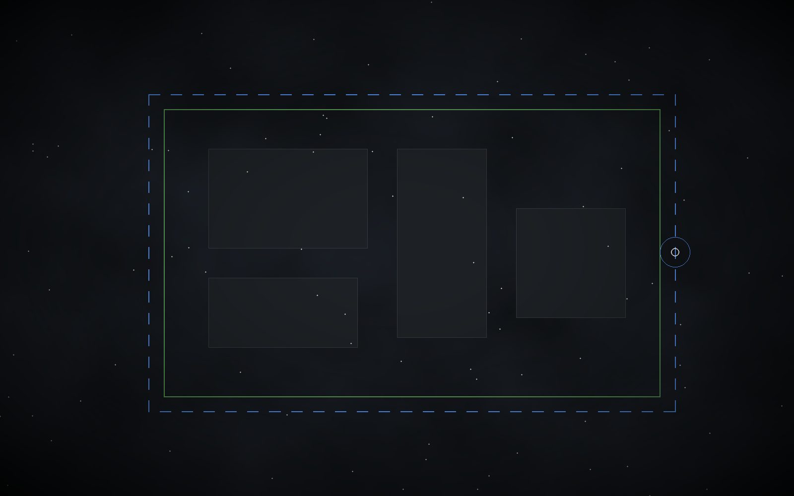
Perimeter patrol plan · illustration
For firefighters and rescue teams, a thermal overview of the scene before the first vehicle stops changes how a response is planned. KEA is developing emergency applications on the same autonomy platform.
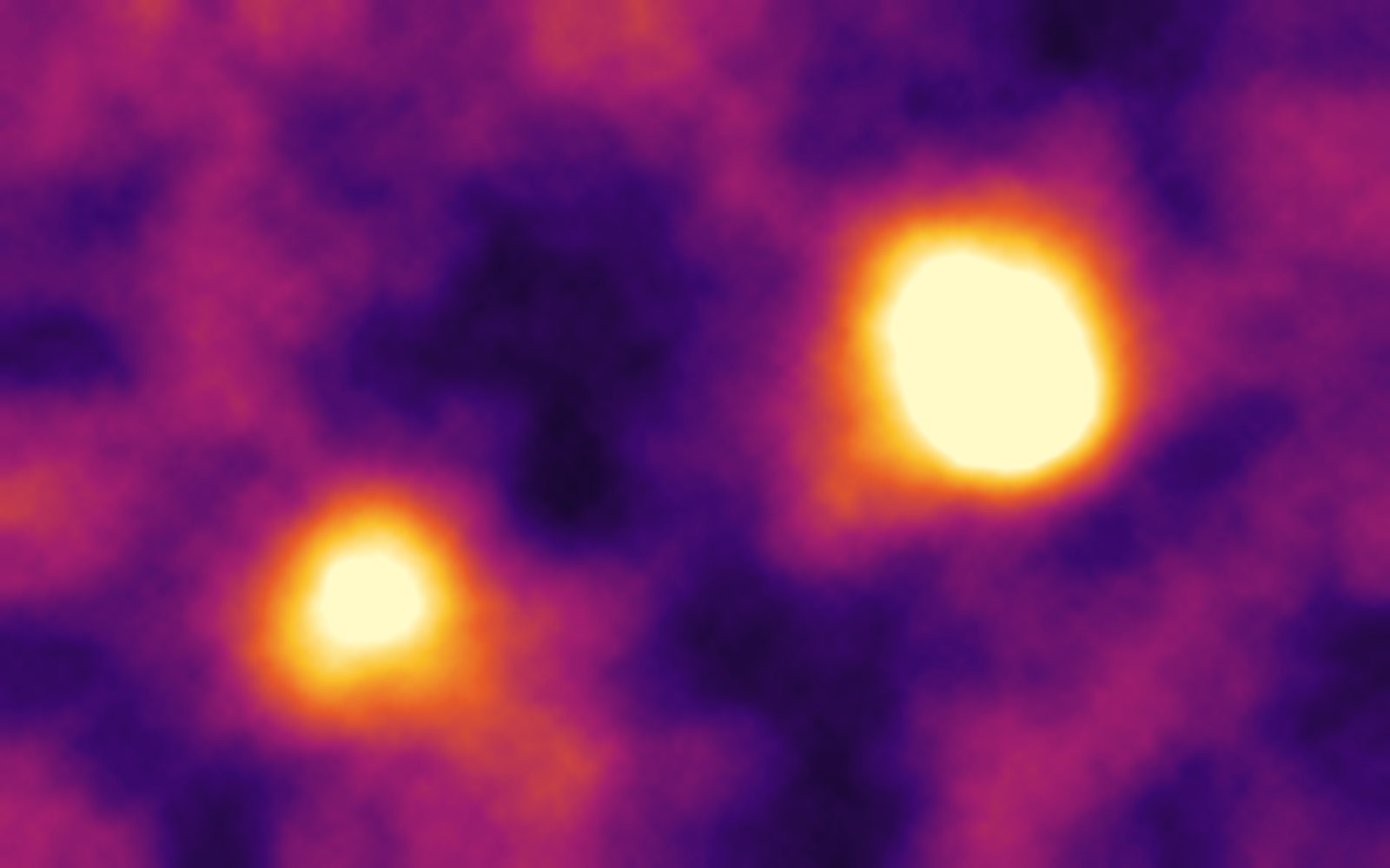
Thermal reconnaissance · illustration
Thermal reconnaissance, hotspot mapping and spread monitoring for incident command.
In development
Systematic search patterns over terrain and water with thermal and optical detection.
In development
Delivery of small emergency payloads and rapid damage assessment after storms or floods.
Research
The KEA platform is built on proven open autopilot technology and industrial components, integrated and validated as one system.
49.61° N · 6.13° E
KEA is based in Luxembourg, at the centre of the European market and its regulatory framework. We design for EU aviation rules, for GDPR-compliant data handling and for the fragmented, hilly and highly cultivated landscapes of Western Europe.
Terrain contours · illustration
Tell our engineering team what you need to see from the air. We will be honest about what works today, what we are testing and what is still research.
Form area: insert your Fluent Forms, Gravity Forms or Contact Form 7 block (or shortcode) here. The theme styles the fields, labels, validation messages and the submit button automatically.