Solutions · Emergency response
The first view of the scene
Firefighters, rescue services and civil-protection teams need an overview before they commit people. KEA is developing emergency applications on its autonomy platform, together with the services that would use them.
Potential applications
These applications are in development or research. We state this clearly because emergency services need reliability, not promises.
Firefighting assistance
Thermal reconnaissance of structures and wildland fires, hotspot mapping, spread monitoring.
In development
Search & rescue
Systematic search patterns with thermal and optical person detection over terrain and water.
In development
Disaster assessment
Rapid mapping after storms, floods or landslides to prioritise access and resources.
In development
Rapid situational awareness
Launch-on-alert flights providing a live overview to incident command within minutes.
Research
Payload transportation
Delivery of small emergency payloads such as radios, medication or flotation devices.
Research
Multi-drone support
Several drones covering search areas or relaying communications cooperatively.
Research
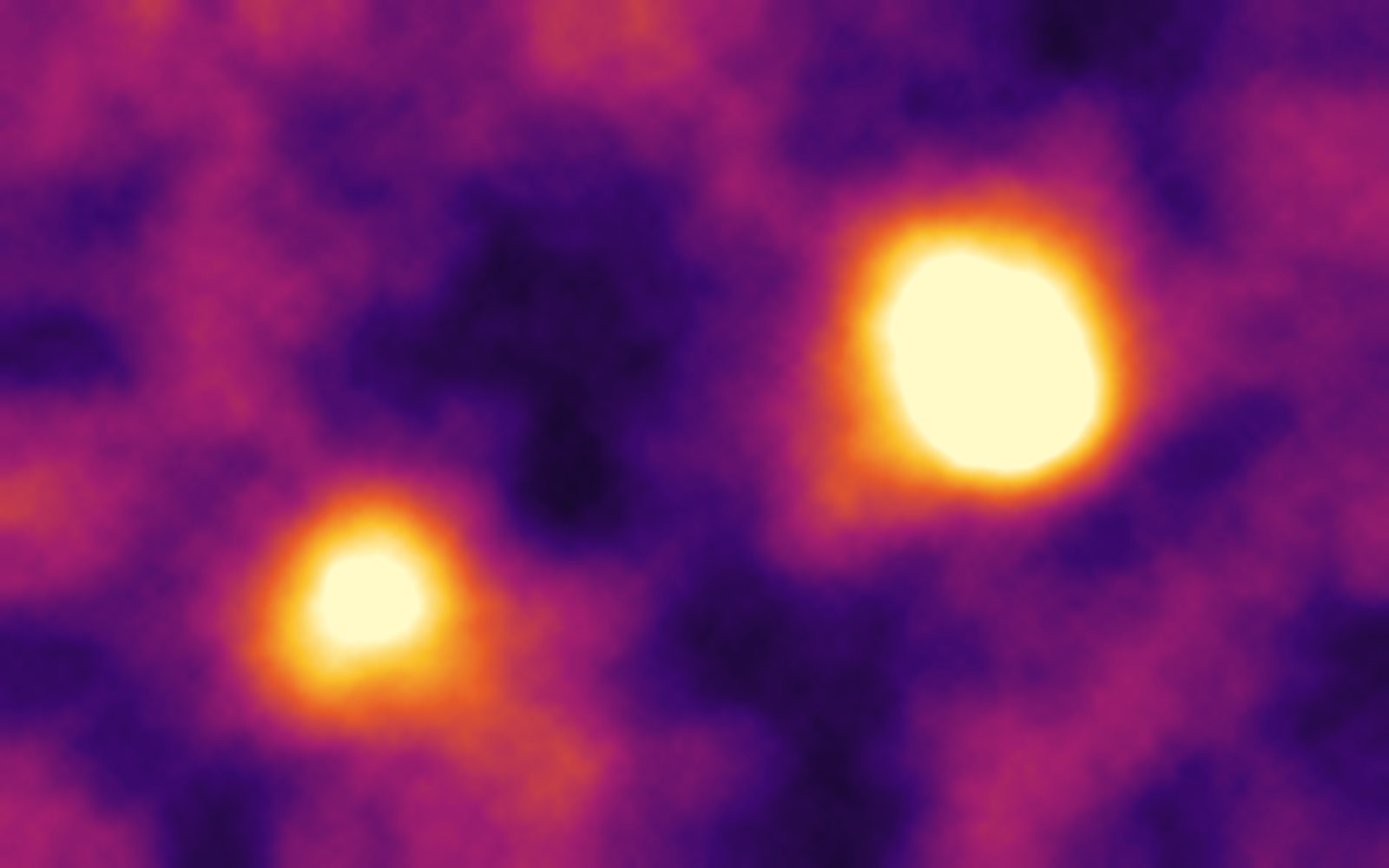
Thermal hotspot mapping · illustration
Developed with the people who respond
Emergency use cases are defined together with fire brigades, rescue organisations and civil-protection authorities. We look for partners who want to evaluate autonomous aerial support in exercises before it is used in real incidents.
Let’s talk about your fields, your site or your mission.
Tell our engineering team what you need to see from the air. We will be honest about what works today, what we are testing and what is still research.