Solutions · Precision agriculture
Fields that report back
Autonomous missions, targeted application and AI-assisted monitoring for orchards, row crops and specialty farming – planned on the ground, flown with centimetre precision and documented automatically.
Repeatable flights, comparable data
Agronomic decisions depend on comparing the same plot over time. RTK positioning lets every mission fly the identical path, so imagery from May can be laid over imagery from July without guesswork.
The fleet platform stores every flight with weather, sensor settings and treatment records, giving you an audit-ready history of the season.
- Mission planning from field boundaries and row geometryAvailable
- RTK-referenced RGB and multispectral captureAvailable
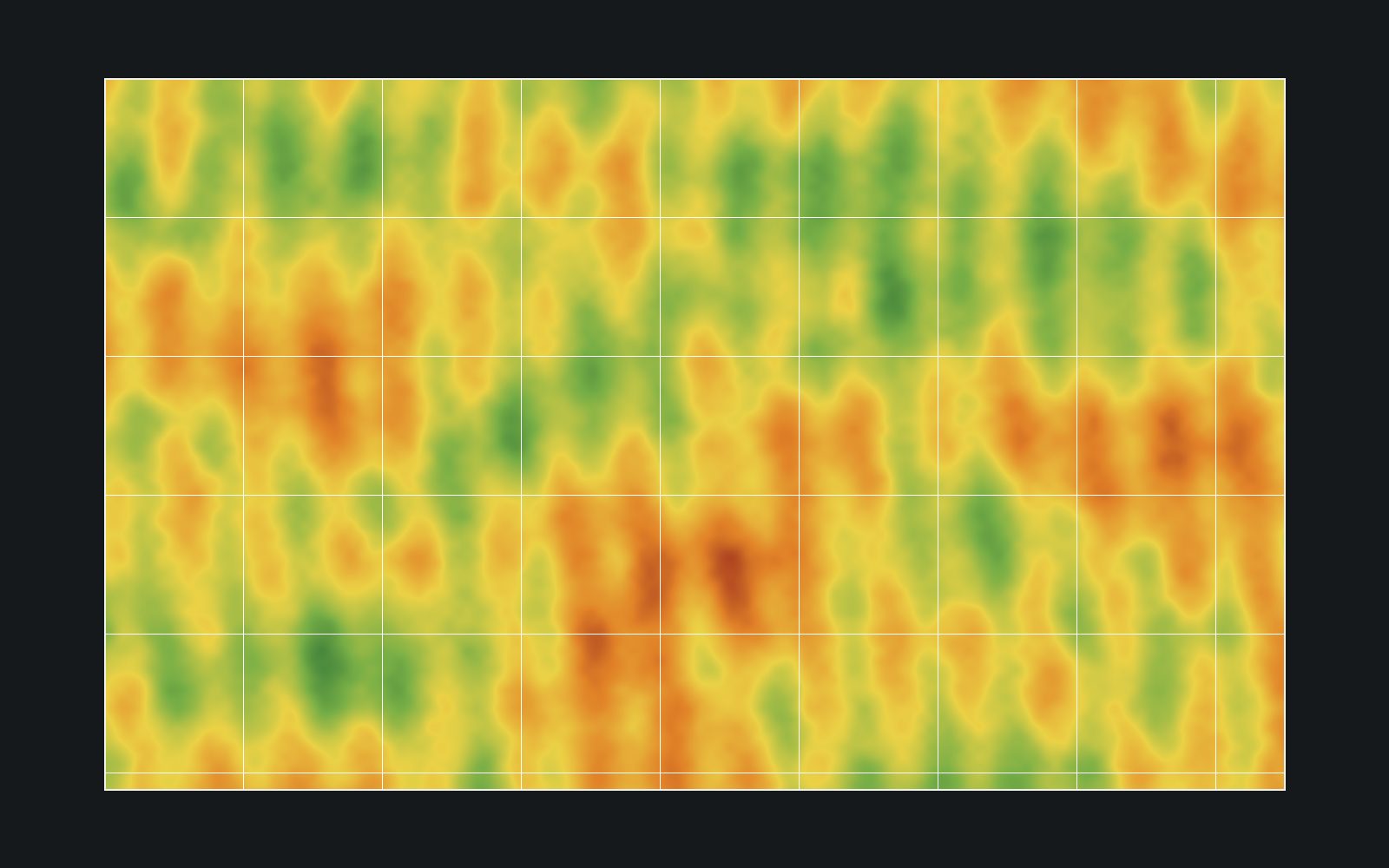
- Vegetation index maps and zone reportsAvailable
- Precision spraying with per-row application logsIn development
- AI disease detection per crop and regionIn development
- Yield estimation from canopy and fruit detectionResearch
- Cooperative multi-drone coverage of large fieldsResearch
What a season with KEA looks like
Four recurring steps, from the first flight of the year to the harvest report.
Baseline survey
Map the plot, define rows and no-fly zones, capture the first reference imagery.
Monitoring cycle
Scheduled flights produce comparable vegetation and stress maps through the season.
Targeted action
Treatment plans are derived from the maps and, where available, applied by drone.
Season record
All flights, inputs and observations are documented for certification and planning.
Sensors matched to the question
Payloads are modular; the autonomy and data pipeline stay the same.
RGB & multispectral
Vigour, stress and coverage mapping with vegetation indices.
Thermal
Water stress and irrigation issues visible before leaves show it.
LiDAR
Canopy structure, terrain models and obstacle mapping for autonomy.
Application
Spraying and spreading payloads with logged, geo-referenced output.
Let’s talk about your fields, your site or your mission.
Tell our engineering team what you need to see from the air. We will be honest about what works today, what we are testing and what is still research.